Alternative Yosemite: escape to the high-country backroads
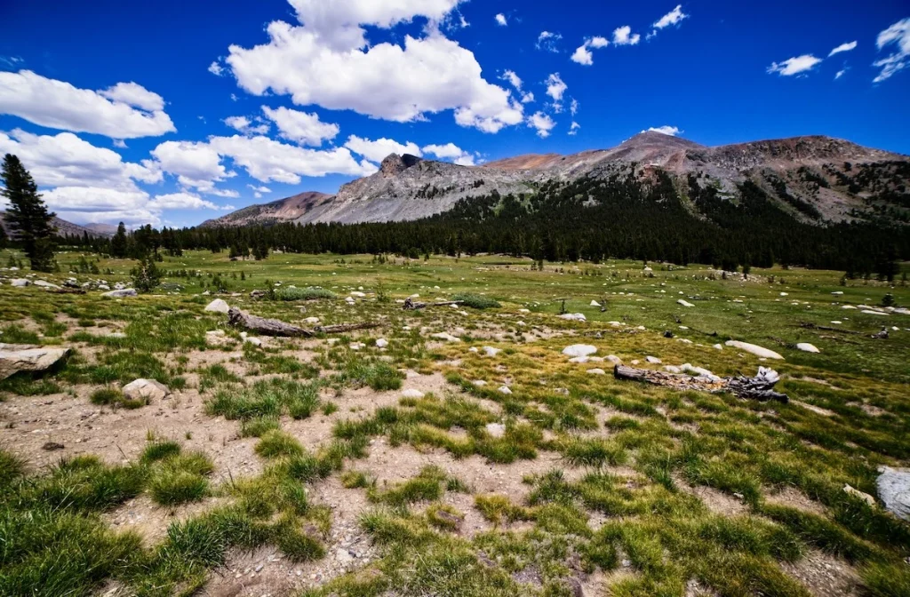
Any good mountain escape requires space to breathe, far away from the crowded valley shuttle loops and packed viewing decks. While the majority of national park visitors crowd onto the flat floor of Yosemite Valley, the alpine high country along Tioga Road offers a completely different wilderness experience. This high-altitude corridor cuts through massive fields of polished granite and subalpine meadows that remain completely buried under snow until mid-summer. The air up here is thin, sharp, and intensely scented with pine resin, offering a striking contrast to the busy canyon floor below. This guide provides exact, stress-free logistical instructions to help you execute an effortless day of exploration through the park’s quiet northern gates.
Tuolumne Meadows
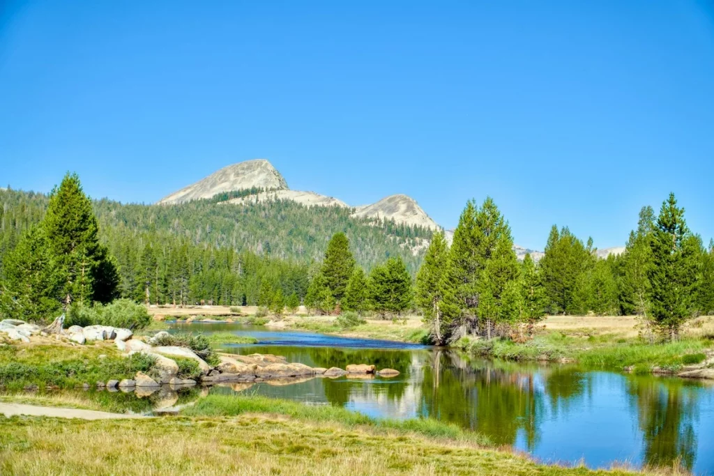
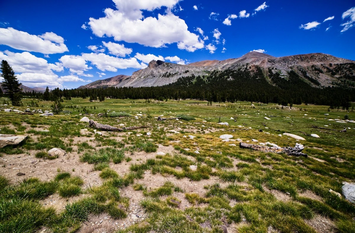
You explore this subalpine meadow along flat, well-marked dirt paths that wind past rushing creeks and dome-shaped granite outcrops. The area requires no special wilderness permits for day hiking, but you must secure a standard park vehicle entry reservation online before arriving at the entrance gate. Parking is casual but limited to designated dirt pullouts along the highway shoulder, making a morning arrival essential if you want to skip the midday vehicle congestion. The setup feels completely exposed to the elements, so keeping a windbreaker and a reusable water bottle in your daypack is a practical necessity.
The meadow system sits at an elevation of eighty-six hundred feet, functioning as a vital watershed fed by the melting snowpacks of the surrounding high peaks. Because the growing season here lasts fewer than ninety days, the local flora consists of highly specialized, low-growing sedges and hardy wildflowers that bloom in a rapid burst by late July. The surrounding forests are dominated almost entirely by lodgepole pines, which grow in dense, symmetrical clusters to survive the brutal winter winds. Walking through this open landscape gives you a transparent look at high-altitude ecology, where the massive granite domes show distinct scars left behind by ancient moving glaciers.
Tenaya Lake
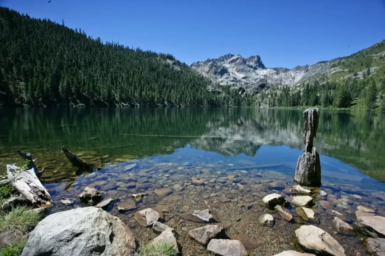
The setup here focuses on a massive, glacier-carved alpine lake bordered on three sides by sheer walls of smooth, white granite rock. There are no commercial boat rentals, loud snack bars, or motorized watercraft permitted on the water, leaving the shoreline completely peaceful for afternoon resting. Access is entirely free once you are inside the park gates, featuring small sandy beaches on both the eastern and western tips that are perfect for sitting with a book. A paved walking trail traces the entire southern shoreline, providing an easy, flat walking alternative for those who want to exercise without committing to a steep mountain climb.
The water sits in a deep granite basin formed during the last glacial period, resulting in a remarkably clear, cold lake fed entirely by high-country snowmelt. Because the lakebed is composed of solid, nutrient-poor granite rather than soft soil mud, the water supports very little algae or plant growth, preserving its deep blue color throughout the summer season. The surrounding shoreline features unique forests of western white pine and mountain hemlock that thrive in the thin, rocky soil crevices. Spending an afternoon along these granite ledges offers a grounded look at the raw physical forces that continue to shape the Sierra Nevada high country.
Tuolumne Grove
You walk down to this secluded grove along a steep, paved historic roadbed that drops roughly five hundred feet into a quiet hillside basin. The trailhead features a small, paved parking area with clean restroom facilities and clear maps, and there are no extra fees required to hike the path. The return trip requires a continuous, uphill walk back to your vehicle, so pacing yourself and wearing sturdy walking shoes with good traction is highly recommended. The atmosphere underneath the dense canopy is noticeably cooler and darker than the exposed highway above, creating a quiet sanctuary where visitors naturally speak in quiet whispers.
This pocket ecosystem protects over two dozen mature giant sequoia trees, ancient organisms that can live for over three thousand years due to their thick, fire-resistant bark. The trees rely on a highly specific micro-climate defined by deep, moisture-retaining loam soils and heavy winter snow accumulation that provides a steady supply of groundwater through dry summer months. Unlike the common pine trees bordering the trail, these massive trunks contain high levels of tannic acid that naturally repel destructive wood-boring insects and fungal diseases. Standing at the base of these massive trunks strips away the usual commercial tourist romance, offering a realistic view of California’s oldest living residents.
Essential seasonal road variables
It must be noted that because Tioga Pass sits at nearly ten thousand feet, the road is highly weather-sensitive and experiences full seasonal closures from roughly November through late May or June. Early autumn or late spring storms can also trigger sudden, temporary closures that last a few days, making a quick check of the official park road conditions page an absolute necessity before departing. Planning your high-altitude itinerary around these mountain variables ensures clear roads, consistent driving speeds, and total safety all the way back to the park boundaries.
Navigating the alternative mountain route
Driving back down toward the lower highway junctions from the northern route bypasses the primary bottlenecks of the park. The high-altitude road connects directly to exit points that lead away from the heavy valley traffic flow entirely. This corridor allows you to combine multiple alpine trailheads and lake stops into a single, continuous loop without repeating any driving sections. Planning your departure before the late-afternoon peak ensures clear mountain roads and consistent speeds all the way back to the park boundaries.