The inland escapes of California: valleys, deserts & foothills
There is a lot more to California than the famous Pacific coastline and crowded city highways. While the beaches and urban centers get most of the spotlight, the true backbone of the state is found just over the coastal mountain ranges. Crossing eastward reveals an incredible inland network of sun-bleached valleys, high-desert plains, historic river junctions, and rugged foothills. These regions include the massive Central Valley, the Sierra Nevada foothills, the Santa Ynez Valley, the Paso Robles wine hills, the Mojave Desert plains, and the low desert agricultural basins. Far from just empty space between the cities, these inland hubs are rewarding travel destinations anchored by living history, celebrated food and wine regions, unique architecture, and deep community traditions.
The layout of the land and major farming valleys
California’s interior geography is anchored by the Central Valley, which is a 450-mile-long stretch of flatland sandwiched between the coastal mountain chains and the granite peaks of the Sierra Nevada. This massive basin formed over millions of years as an inland sea, gradually filling with marine sediment and deep layers of mineral-rich soil washed down from the surrounding mountain ranges.
The southern two-thirds of this great basin make up the San Joaquin Valley. Fed by rivers rushing down from the Sierra Nevada snowpack, including the San Joaquin, Kings, Kaweah, and Kern, this region features some of the deepest topsoil on earth. Historically, the southern end of this valley was covered by Tulare Lake, which was once the largest freshwater lake west of the Mississippi River, supporting vast tule reed marshes, massive flocks of migratory birds, and native fish populations. Beginning in the late 19th century, agricultural canals and water storage projects steadily drained the lakebed to turn the rich floor into farm acreage. Today, the San Joaquin Valley produces over half of the fruits, nuts, and vegetables grown in the United States. Fresno, Tulare, and Kern counties consistently rank as the top three agricultural counties in the nation, yielding massive harvests of almonds, table grapes, pistachios, citrus, and dairy products. Beyond commercial agriculture, the region draws visitors each spring along scenic routes like the Fresno County Blossom Trail, where miles of stone fruit and almond orchards burst into white and pink blooms.
The valley floor also saw dramatic early conflicts as different cultures met. In 1829, the Battle of Stanislaus erupted along the riverbanks when a legendary Indigenous leader named Estanislao led a massive multi-tribal uprising against the Mexican military. Armed with bows, arrows, and captured muskets, his forces dug a brilliant network of defensive trenches, holding off cavalry units and cannons in one of the most intense battles ever fought in the valley.
Toward the Central Coast, the Santa Ynez Valley breaks away from typical north-south valley layouts by running east-to-west. Rather than running parallel to the coastline, this transverse opening allows cool maritime breezes and dense fog banks to funnel straight inland from the Pacific Ocean, cooling down sun-baked soils of calcified clay, shale, and gravelly loam. This natural configuration sets up dramatic temperature zones across just twenty miles of highway. The cooler western edge, centered on the Sta. Rita Hills, provides the cool temperatures and slow ripening conditions required for Pinot Noir and Chardonnay. Further east, as the valley rises toward Happy Canyon, the fog burns off early in the morning, creating the sustained heat necessary to ripen Bordeaux and Rhône grapes like Cabernet Franc, Syrah, and Sauvignon Blanc.
Further north along the inland side of the Santa Lucia Mountains, the Paso Robles AVA encompasses more than 600,000 acres split across 11 distinct viticultural sub-districts, including Adelaida, Willow Creek, and the Templeton Gap. The geology of Paso Robles is unusual for California because it contains a heavy concentration of limestone and calcareous soils formed from uplifted ancient seabed deposits. These chalky soils limit vine vigor, forcing grapevines to grow deep root networks that produce concentrated fruit. In the Templeton Gap district, breaks in the coastal mountains pull in brisk Pacific ocean winds every afternoon, dropping temperatures by up to 50 degrees Fahrenheit before nightfall. This cooling cycle preserves natural acidity in heat-loving grape varieties like Zinfandel, Cabernet Sauvignon, and Mourvèdre. Today, travelers visit the region for estate tastings across rolling hills and to explore the expansive outdoor light installations and walkable winery estates.
Up in the northern interior, narrow valley floors and ancient volcanic eruptions created premier growing regions along the base of Mount Saint Helena. The St. Helena AVA in Napa County sits at a narrow point on the valley floor where the surrounding hills draw in afternoon warmth while capturing cool evening air rolling down from the mountains. The gravelly, volcanic soils allow water to drain quickly, encouraging vines to produce structured Cabernet Sauvignon. In 1861, Prussian immigrant Charles Krug built the valley’s first commercial winery on this benchland. In 1876, German-born brothers Jacob and Frederick Beringer founded their neighboring winery, hiring Chinese and European laborers to hand-chisel extensive aging caves into the limestone hillsides to maintain natural cellar temperatures throughout hot summer months. These properties remain open to the public, offering historical cave tours and tastings that showcase the origins of the region’s wine industry.
Low desert basins and arid agriculture
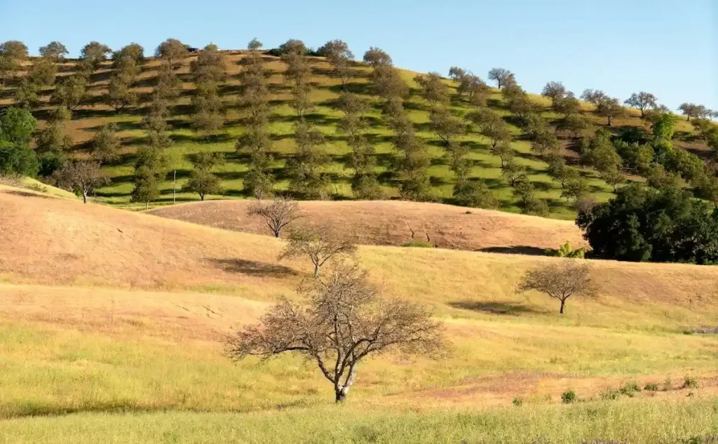
South of the Transverse Ranges, California’s interior drops down into the Colorado Desert, a low-elevation sub-region of the Sonoran Desert that includes the Coachella and Imperial valleys. Sitting largely below sea level, this sun-drenched region features a dramatic landscape formed by ancient floods and active fault lines.
The Imperial Valley was historically an arid desert plain until the turn of the 20th century, when engineers built intake canals to divert water from the Colorado River. In 1905, heavy spring floods breached the temporary diversion dikes, sending the full force of the Colorado River pouring unchecked into the Salton Sink for nearly two years, filling the ancient basin and creating the modern Salton Sea. The surrounding valley was subsequently stabilized and re-engineered with the completion of the 80-mile All-American Canal in 1940. Tapping directly into Imperial Dam on the California-Arizona border, this gravity-fed system transformed over 500,000 acres of desert sand into winter vegetable farms, supplying a huge share of the country’s winter lettuce, broccoli, carrots, and alfalfa.
Just north of the Salton Sea, the Coachella Valley sits in the rain shadow of the towering San Jacinto and Santa Rosa mountains. While modern resort communities like Palm Springs and Rancho Mirage emerged around natural mineral hot springs and mid-century architecture, the eastern valley floor became an agricultural center for specialty desert crops. In the early 1900s, agricultural researchers imported date palm offshoots from the Middle East and North Africa, recognizing that the intense heat and accessible underground aquifers of Indio and Thermal mirrored the growing conditions of the Persian Gulf. Today, the Coachella Valley produces nearly all of the commercial Medjool and Deglet Noor dates grown in the United States.
Visitors to this desert corridor can tour working date groves in Indio, browse the mid-century design showrooms of Palm Springs, or ride the Palm Springs Aerial Tramway. The rotating tram cars climb over 2.5 miles up the sheer cliffs of Chino Canyon to Mount San Jacinto State Park at 8,516 feet, where travelers can access over 50 miles of alpine hiking trails with panoramic views overlooking the entire valley floor.
The high desert and historic transit crossroads
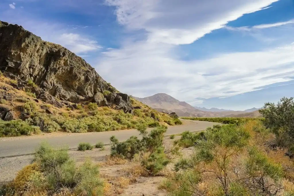
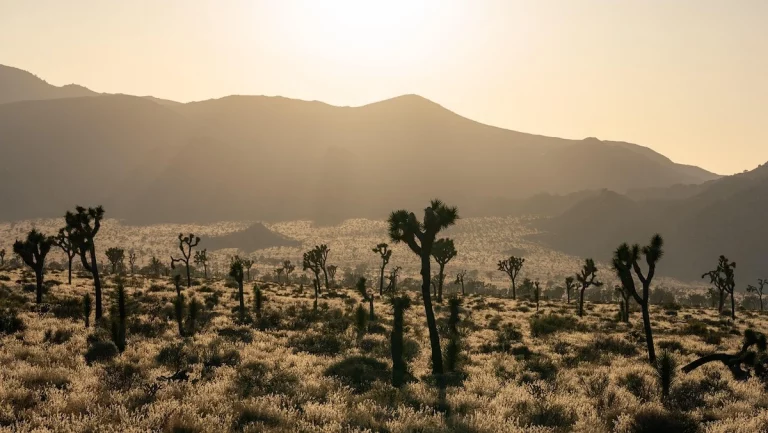
North of the San Bernardino Mountains lies the vast Mojave Desert, a high-elevation arid plain that sits between two thousand and five thousand feet above sea level. This rugged landscape features vast Joshua tree forests, volcanic cinder cones, and broad salt flats. The area has long served as a vital, punishing transit corridor for travelers moving between the Colorado River and the coastal basin of southern California.
Long before long-haul truck transport, the geography of the Mojave dictated the pathways of early wagon trails, including the Old Spanish Trail and the Mojave Road. Pioneer scouts followed natural spring lines and fragile desert oases to map out routes that connected remote mining camps to the coast. In the late 19th century, the Atlantic and Pacific Railroad laid tracks across this arid landscape, establishing vital watering stops that eventually grew into historic desert railway hubs like Barstow and Needles.
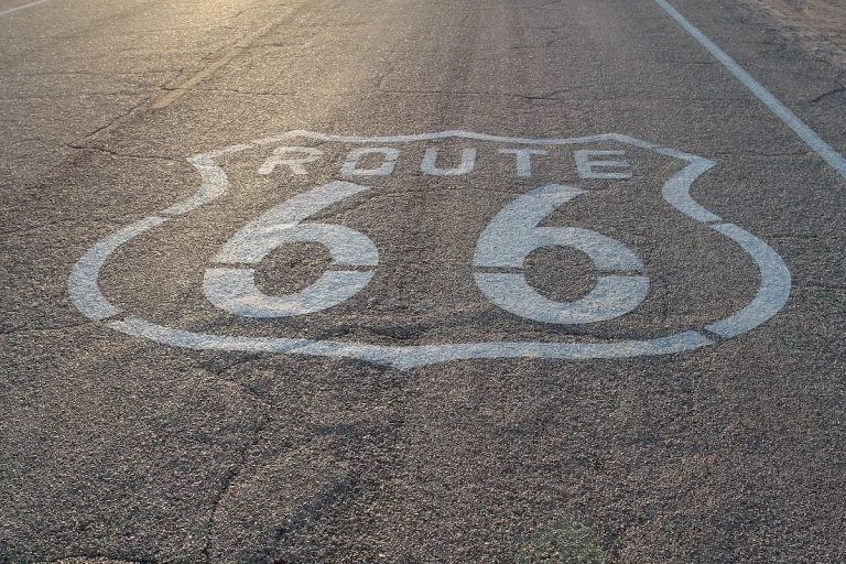
These rail settlements were built around expansive switchyards and locomotive repair shops, forming the economic foundation of the high desert. Barstow became a crucial junction where the Santa Fe and Union Pacific lines met, turning a remote desert outpost into a bustling transport center. When the automobile era arrived in the 1920s, the path of the National Old Trails Road was paved over to create Route 66, which funneled thousands of cross-country travelers directly through the heart of the Mojave. Today, road-trippers explore this stretch to see preserved vintage service stations, classic neon diners, and desert outposts, while nearby gateways lead directly into the granite boulder formations of Joshua Tree National Park and the volcanic craters of the Mojave Trails National Monument.
Further north along the western edge of the Mojave, the Owens Valley forms a deep, narrow trough pressed between the eastern slopes of the Sierra Nevada and the Inyo Mountains. The valley floor was historically fed by rushing mountain streams, supporting a localized farming and cattle ranching economy. This landscape changed permanently in 1913 with the completion of the Los Angeles Aqueduct, a massive engineering project designed by William Mulholland to divert the Owens River southward to support the rapid growth of the coast. Today, the Eastern Sierra corridor along Highway 395 attracts outdoor enthusiasts for world-class trout fishing in mountain creeks, exploring Alabama Hills movie locations, and climbing Mount Whitney.
During the conflict-heavy days of the Old West, this corridor saw intense, local standoffs over territory and resources. In 1862, the Owens Valley Indian War erupted when a brutal winter destroyed local food stores, forcing Native warriors into a series of fierce, tactical firefights against local cattlemen and cavalry units along the valley floor.
Indigenous trails and pioneer crossroads
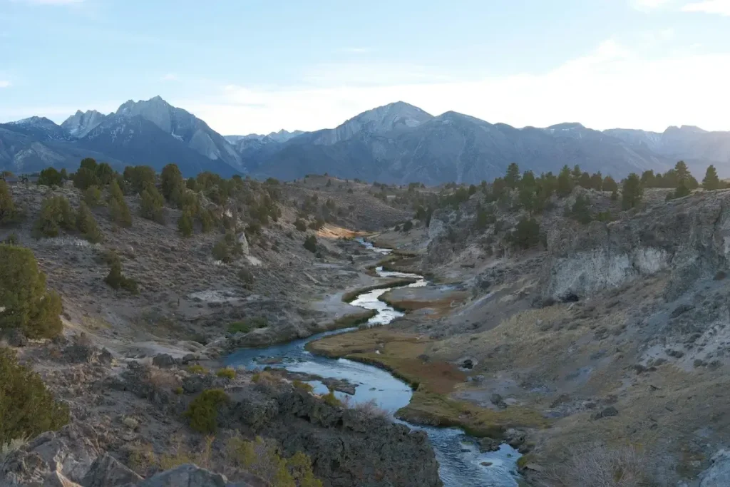
Long before concrete interstates were constructed, California’s interior river networks, desert passes, and foothill routes determined how people and goods moved across the American West. Native nations established trade routes that linked inland hunting and harvesting grounds directly to coastal settlements.
The Yokuts people, who lived throughout the wetlands, oak forests, and waterways of the Central Valley, traded with the Chumash along the coastline. Inland traders carried obsidian collected from volcanic ranges, pine nuts, asphaltum, and freshwater goods westward over mountain passes, exchanging them for ocean abalone, dried fish, and coastal shell beads used as currency. These footpaths followed the natural contours of the land, eventually becoming modern thoroughfares such as Highway 154 through San Marcos Pass and Highway 46 over the coastal ranges.
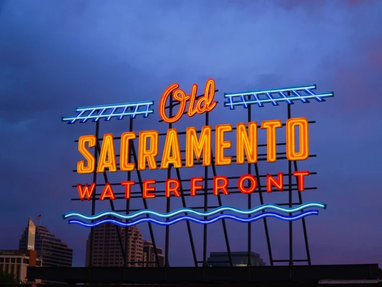
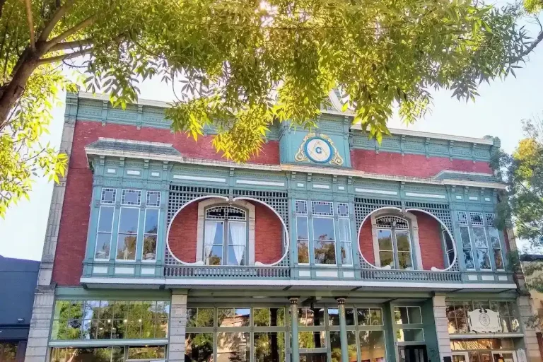
During the 1849 Gold Rush, the confluence of the Sacramento and American rivers became northern California’s central trading port. Ocean vessels sailed inland through San Francisco Bay and up the Sacramento River to unload prospectors, mining machinery, and building materials at Sutter’s Embarcadero. Today, this 28-acre district is preserved as the Old Sacramento Waterfront, containing over 50 historic buildings from the mid-19th century. Visitors can walk down wooden boardwalks, explore 21 restored locomotives at the California State Railroad Museum, take excursion train rides along the river, or take underground tours beneath the city streets that were elevated in the 1860s to prevent flooding. Landmarks like the 1851 Big Four House served as the headquarters where railroad magnates Leland Stanford, Collis P. Huntington, Mark Hopkins, and Charles Crocker organized, financed, and directed the construction of the Central Pacific Railroad, completing the western link of the Transcontinental Railroad.
As mining slowed down and the state turned to commercial agriculture, the San Joaquin Valley emerged as California’s central shipping corridor. In the 1870s, the Southern Pacific Railroad pushed its main line straight down the valley floor, establishing civic centers like Fresno, Bakersfield, and Modesto around designated depot points and engine water stops. This railroad infrastructure allowed large inland farms to ship wheat, fruit, and livestock directly to ocean ports in San Francisco and Los Angeles.
Rising into the Sierra Nevada foothills along Highway 49, Mariposa County was created in 1850 as one of California’s original 27 counties. It originally encompassed roughly 30,000 square miles, which was one-fifth of the entire state, before being divided over time to help create portions of 11 modern counties, earning it the title “Mother of Counties.” In the center of town stands the 1854 Mariposa County Courthouse, a landmark built from local white pine using mortise-and-tenon framing, recognized as the oldest continuously operating courthouse west of the Rocky Mountains. The town serves as a key historic gateway for travelers exploring the Gold Country and heading up into Yosemite National Park.
The county was also the epicenter of the Mariposa War in 1850, when local trading post raids spiraled into a full-scale foothill campaign. The volunteer state militia formed during this conflict accidentally became the very first group of non-native travelers to ever enter the hidden depths of Yosemite Valley as they tracked fleeing warriors up into the deep mountain canyons.
The Mother Lode and foothill infrastructure
North of Mariposa, the Highway 49 corridor tracks the western slope of the Sierra Nevada batholith, a gold-bearing quartz vein system known historically as the Mother Lode. The rugged geography of these foothills dictated a series of isolated river canyon settlements that quickly evolved into industrial centers during the height of the gold rush.
The southern mining district, including towns like Sonora, Columbia, and Angels Camp, was characterized by rich placer deposits and extensive limestone formations. In Columbia State Historic Park, the past is preserved as a living town where visitors can ride an authentic stagecoach, try their hand at panning for gold, visit a working blacksmith shop, and bowl in a historic 1850s saloon. Further north, the mining district centered around Grass Valley, Nevada City, and Sutter Creek developed around deep, hard-rock quartz mines like the Empire Mine and the North Star Mine. Today, travelers can tour Empire Mine State Historic Park to see the historic stone cottage estate, walk among manicured heritage rose gardens, and view the preserved mine shafts that plung thousands of feet into the earth.
To process the gold-bearing rock, mining companies erected massive stamp mills, which used giant iron hammers to crush quartz ore around the clock. The immense power needed to run these industrial mills and dewater the mines forced early California engineers to develop innovative water-delivery systems. They constructed extensive networks of timber flumes, ditches, and high-pressure pipe systems along the steep canyons of the American, Yuba, and Feather rivers. These early water networks were eventually retrofitted with turbines and generators, giving birth to some of the world’s earliest long-distance hydroelectric power grids, which transmitted electricity out of the foothills to support the growing cities of the Sacramento and San Joaquin valleys.
Over in the Santa Ynez Valley, the town of Solvang was built as a dedicated cultural and farming community. In 1911, a group of Danish-American educators and pastors formed a colony corporation and bought 9,000 acres of the historic Rancho San Carlos de Jonata for $75,000. They divided the land into farms and town parcels to attract Danish families seeking to establish schools and businesses in the West. Today, Solvang is one of the Central Coast’s most popular cultural stops, where visitors can sample authentic æbleskiver pastries at traditional bakeries, explore local heritage at the Elverhøj Museum of History & Art, and visit landmarks like the 1928 Bethania Lutheran Church, designed with interior timber framing that reflects the shape of an inverted Viking ship.
Waterways and engineering marvels
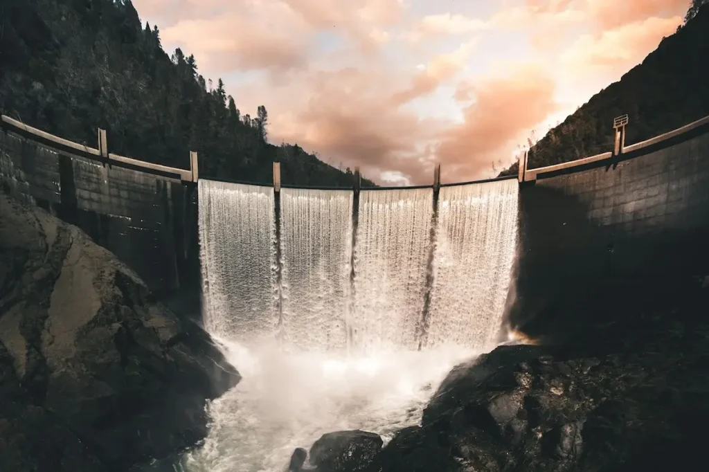
The story of modern inland California is closely tied to its water infrastructure. The natural hydrology of the state features a sharp geographic divide: two-thirds of the state’s rain and snow falls in the northern mountains and the high Sierra Nevada, while two-thirds of the agricultural and urban water demand sits in the drier central and southern valleys.
To move water across these great distances, state and federal agencies developed massive engineering networks during the mid-20th century through the federal Central Valley Project (CVP) and the California State Water Project (SWP). Facilities like Shasta Dam on the upper Sacramento River and Oroville Dam on the Feather River capture winter precipitation and spring snowmelt, storing water in mountain reservoirs before releasing it through natural riverbeds into the Sacramento-San Joaquin Delta.
From the southern edge of the Delta, engineering assets like the 117-mile Delta-Mendota Canal (completed in 1951) and the 444-mile California Aqueduct transport fresh water along the western side of the San Joaquin Valley.
At the southern end of the valley floor, the water reaches the base of the Tehachapi Mountains at the Edmonston Pumping Plant. This facility uses 80,000-horsepower motor pumps to lift water 1,926 feet straight over the mountain range in a single push, which stands as the highest water lift of its kind in the world, before sending it onward to coastal southern California. This water grid turned semi-arid scrub plains into productive farms, while providing flood regulation, hydroelectric power, and clean drinking water to millions of residents across inland communities.
Historic architecture and local character
Instead of replacing older buildings with generic developments, inland California communities have maintained their character by finding practical new uses for historical structures.
Throughout the Sierra foothills and northern wine valleys, thick-walled 19th-century buildings made of fieldstone, quarried basalt, and native pine have been preserved as offices, local shops, and production cellars. These massive stone walls act as natural thermal mass, absorbing heat during warm valley afternoons and releasing it slowly overnight to keep interiors comfortable.
In southern desert hubs across the Coachella Valley and Mojave Desert, mid-century architects designed structures suited to intense heat and open landscapes. Builders embraced low rooflines, wide overhangs that shield glass windows from direct solar heat, and high clerestory windows that let in natural light without the heat. They utilized durable materials like concrete masonry block, local stone, and treated timber to withstand strong desert winds, temperature swings, and earthquakes.
In Solvang, municipal guidelines established after World War II helped preserve traditional Scandinavian architecture. The walkable downtown core features half-timbered facades, exposed brick, hand-crafted rooflines, four traditional wooden windmills, and a one-third-scale replica of Copenhagen’s 17th-century Round Tower.
Fresh local food and farm traditions
Because inland California towns sit right next to working orchards, olive groves, packing facilities, and family creameries, the regional food culture is built on short supply lines.
Inland restaurants collaborate with neighboring growers to source cold-pressed extra virgin olive oils from historic groves, heritage wheat varieties grown on valley farms, wild mushrooms gathered in the Sierra foothills, and grass-fed beef raised on nearby rangelands. Menus shift with the weekly harvest, providing food directly tied to the surrounding acreage.
This local focus is just as prominent in the wine regions of Paso Robles, the Sierra Foothills, and the Santa Ynez Valley. Winemakers focus on small-lot, single-vineyard bottlings that highlight distinct soil compositions, microclimates, and elevations. These independent wineries maintain deep connections to the hillsides, dry-farmed limestone slopes, and alluvial river plains where the fruit is grown.
Scenic byways and connecting routes
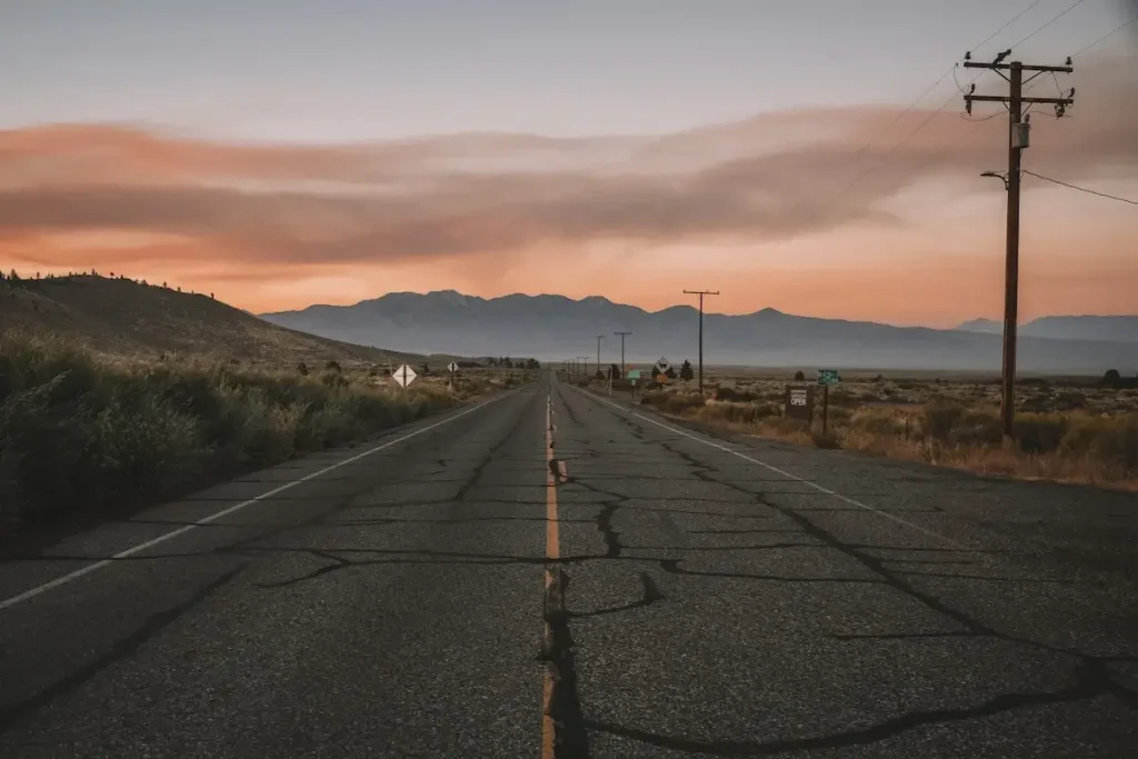
The strategic location of these inland destinations makes them ideal starting points or transitional pathways for exploring different regions of the state. These historic corridors split cleanly into major geographic routes that connect the agricultural heartland to the sea cliffs, high alpine passes, and arid desert valleys.
- Highway 154 (San Marcos Pass): This scenic mountain highway climbs directly over the Santa Ynez Mountains via San Marcos Pass, reaching an elevation of 2,225 feet. It serves as a direct, historic alternative to the coastal 101 freeway, linking the inland Danish community of Solvang and the Santa Ynez wine estates down to the palm-lined waterfront of Santa Barbara.
- Highway 46 (Paso Robles to Cambria): Traversing the rugged Santa Lucia Range, this route winds past the oak-dotted hills and limestone-heavy vineyards of the western Paso Robles wine region. As the road drops down the western slopes, it offers expansive ocean vistas before connecting drivers directly to the pine-forested coastal bluffs of Highway 1 near Cambria.
- Highway 49 (The Mother Lode highway): Stretching all the way from Oakhurst in Madera County north to Vinton in Plumas County, this 300-mile north-south foothill spine links decades of Gold Rush history. The road drops into deep, dramatic river canyons, passes preserved 19th-century state parks like Columbia and Empire Mine, and coordinates a direct path through towns built on the historic quartz veins of the Sierra Nevada batholith.
- Highway 120 (Tioga Pass): Crossing paths with Highway 49 in the foothills, this route climbs through the high granite country of Yosemite National Park. Reaching an elevation of 9,943 feet at Tioga Pass, it stands as the highest automobile pass in California, physically bridging the flat agricultural fields of the Central Valley directly to the stark Mono Basin and the high-desert plains of the Eastern Sierra.
- Highway 108 (Sonora Pass): Located just north of Yosemite, this historic wagon route cuts through the Sierra Nevada, reaching an altitude of 9,624 feet at Sonora Pass. It features steep 26-percent grades and tight mountain switchbacks, tracing old pioneer trails to connect the foothill timber towns of Tuolumne County directly to the vast, open rangelands of the Great Basin.
- Highway 395 (The Eastern Sierra corridor): Running along the massive rain shadow of the Sierra Nevada mountains, this iconic north-south highway snakes down through the Owens Valley. It connects high-altitude alpine streams, the Alabama Hills rock formations, and climbing gateways like Mount Whitney directly down to the northern edge of the Mojave Desert plains.
- Route 66 and the National Old Trails Road: Cutting straight through the heart of the Mojave Desert, this classic highway tracks the natural spring lines and historic watering stops established by early transcontinental railroads. It connects vintage desert railroad town intersections like Barstow and Needles, offering travelers an open-road corridor framed by Joshua tree forests, volcanic cinder cones, and old neon-lit service outposts.