Sometimes it pays to get stuck in Castaic
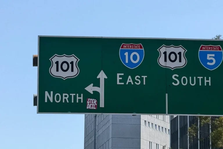
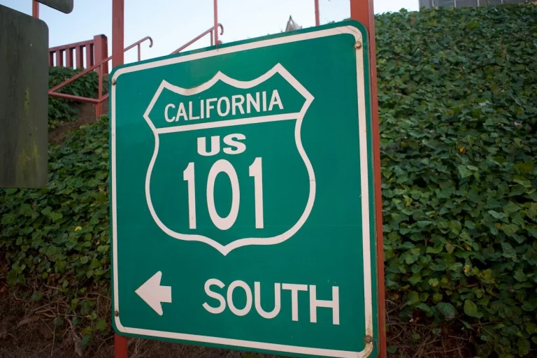
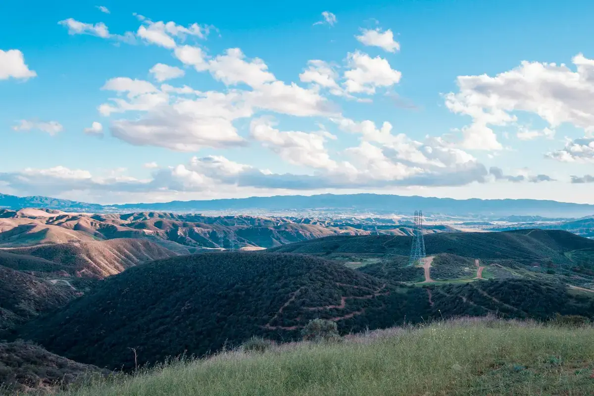
A sudden winter closure on the Grapevine pass can test the patience of any driver. When heavy snow or dense mountain fog blankets the higher ridges of the Sierra Pelona range, the California Highway Patrol halts traffic, turning the small community of Castaic into an abrupt parking lot at the base of the mountains. Scribbled on a local bathroom wall, one stuck traveler once left the blunt graffiti: “It sucks to be stuck in Castaic.” For anyone attempting to sprint through the state on a tight schedule, a highway delay here feels like a trap. Yet, looking past the modern concrete of Interstate 5 reveals a landscape shaped by deep indigenous heritage, frontier conflicts, and early engineering triumphs. The very geography that halts modern vehicles has made this valley a vital place of refuge for centuries. Choosing to pull off the road and step away from the highway corridor reveals a collection of quiet foothill enclaves, historic parks, and expansive reservoirs that reward a slower perspective, acting as an ideal entry point for discovering the Golden State.
The native roots and rugged conflicts of the canyon
Long before concrete lanes connected Los Angeles to the Central Valley, the valley served as a geographic bottleneck. The original inhabitants of the region, the Tataviam people, recognized the strategic nature of the land. The modern name Castaic traces back directly to the native word Kashtiq, which translates to “eyes.” It’s a descriptor that fits the terrain perfectly, as the high ridges look out over the natural entry points to the mountain canyons. Spanish explorers later recorded the area as Casteque during their early overland expeditions through the foothills.
The late 19th century brought rapid development and tension to the area. In 1887, the Southern Pacific Railroad established a local siding and cattle chute, transforming the rural valley into a bustling hub for regional ranchers. As grazing lands grew crowded, property disputes escalated into the Castaic Range War. This decades-long frontier feud over land boundaries and cattle lines lasted from 1890 until 1916, marking one of the last true conflicts of the old west in Los Angeles County.
The modern identity of the town emerged clearly in July 1915 with the completion of the original Ridge Route. This winding mountain road provided the very first direct automotive connection over the pass. Early stagecoaches, Model T drivers, and early commercial truckers all paused in Castaic to service their engines before attempting the steep, grueling climb, cementing the town’s role as a mandatory gateway.
Where the foothills meet the water
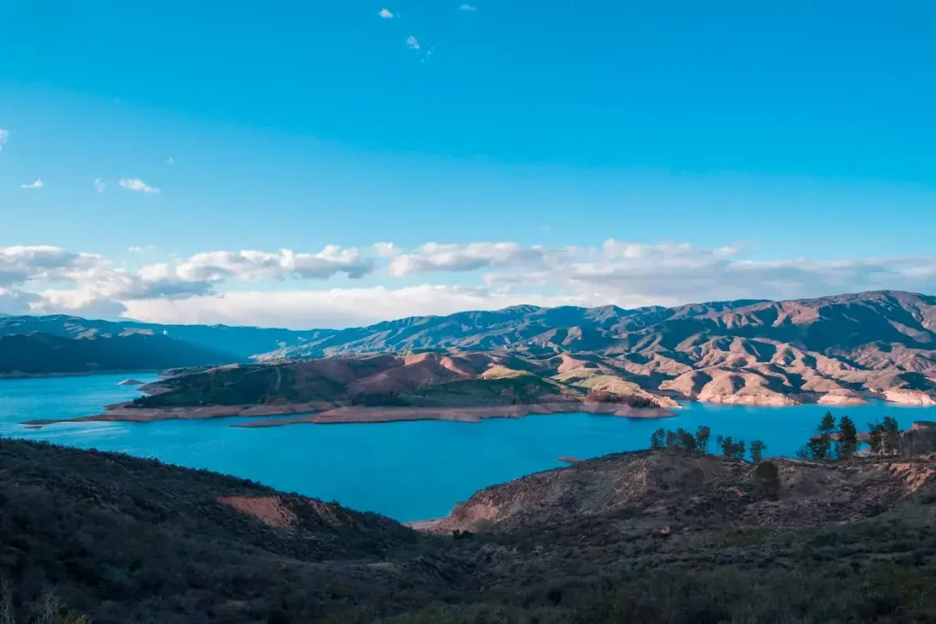
The modern landscape changed dramatically in the 1970s with the construction of a massive earth-fill dam. This project created the expansive blue waters of the Castaic Lake State Recreation Area, placing a massive freshwater reservoir directly against the parched, golden foothills.
The park’s split into two distinct bodies of water, each offering a stark contrast to the rush of the nearby freeway. The upper lake serves as a massive water storage facility framed by steep canyon walls. Driving up Lake Hughes Road leads to a paved overlook that provides sweeping views of the deep water and the rolling ridges of the Sierra Pelona Mountains, making it an easy spot to watch the afternoon sun sink behind the peaks.
Just below the main dam sits the lower lagoon. While high-speed boating dominates the upper reservoir, the lagoon functions as a quiet sanctuary. The calm perimeters here are dedicated to non-motorized watercraft, creating a peaceful environment for kayaking, stand-up paddleboarding, and team dragon boat practices. Walking the shores of the lagoon allows the constant hum of highway traffic to fade completely into the sound of lapping water.
Nearby historic enclaves worth the detour
For travelers willing to venture just a few miles beyond the gas stations and fast-food chains, the surrounding hills protect two of the most significant historical destinations in the upper Santa Clarita Valley.
A short drive west into the oak-shaded canyons leads to Val Verde. Originally established in 1924 as Eureka Villa, this quiet foothill community holds a vital place in California’s cultural history. Founded by African American professionals during an era of heavy urban segregation, Val Verde became known as “The Black Palm Springs.” It thrived for decades as an independent resort town where visitors could enjoy a discrimination-free environment for relaxation and leisure. The local regional park preserves this history, offering quiet walking paths beneath mature trees that tell a story of community resilience.
Just south of town, tucked deep inside Pico Canyon, sits Mentryville Park. This historic ghost town preserves the birthplace of the California oil industry. Founded in the 1870s around “Pico No. 4,” which became the longest-running oil well in western history, Mentryville once housed over one hundred pioneer families. Today, visitors can wander past preserved 19th-century architecture, including the 13-room Victorian mansion of town pioneer Charles Mentry, a restored one-room schoolhouse, and a striking red barn.
Inhabiting the journey
Getting stuck in Castaic doesn’t have to mean watching the clock. Whether you’re forced off the road by a sudden mountain storm or simply choosing to break up a long drive, the foothills offer a chance to realign with a gentler rhythm. Stepping away from the interstate allows you to cross paths with indigenous trails, old oil booms, and peaceful lakeside perimeters, proving that the best parts of California are sometimes found where they’re least expected.